Verified Views
We are now able to provide you with all the required data for ‘Verified Views’ (Accurate View Representations). Having been specialists in collecting data for over 30 years we are pleased to be able to offer this expansion to our already extensive range of surveying services. We pride ourselves on meeting our clients expectations regarding delivery times and quality. If you have any queries about this new service or any other service we provide, please do not hesitate to get in touch and one of our qualified surveyors will be happy to help.
What are Verified Views?
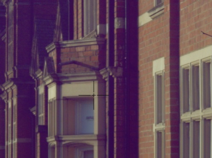
‘Verified View’ Survey Data is essentially a set of photographs of a particular scene or proposed development site (photos supplied by third party) with a series of crosshairs attached to various, prominent features (e.g. top of bus stop, centre of clock etc). See photo above for example:
This data is used within 3D Modelling software to insert your project/building seamlessly and effortlessly into the landscape to see its actual relationship in context amongst its peers.
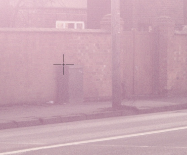
Each crosshair has its own set of GPS co-ordinates. All crosshairs come with their own photograph taken internally by the equipment itself to help visually confirm its location. See below:
All documents are cross referenced with each other so that you have a visual record and a data record, all on one convenient digital file (see below)


Our highly experienced surveyor will liaise with your photographer and visit site and take a variety of measurements in optimum locations, using a remote laser and GPS equipment (see below) which has a range of up to 300m dependent upon site conditions.


