Topographical Surveys
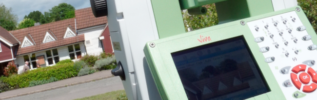
We use the latest technology and software to produce site surveys of the highest quality. As well as topographical surveys of open spaces, fields, gardens and roads ; we also undertake street scene elevation surveys, flood risk surveys, river bed profile surveys, boundary dispute surveys, volumetric surveys and monitoring surveys. We have the capability to survey remotely, allowing us to obtain survey information in difficult to access areas. We use GPS technology where necessary to locate features and levels to the highest degree of accuracy relative to the Ordnance Survey Active GPS Network. Our completed survey drawings meet the requirements of both private developers and government agencies such as the Land Registry and the Environment Agency.